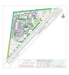
Our contour survey services are cost effective and can be customized to suffice the client specifications. Primary objective of conducting these surveys is to identify any noticeable difference in elevation of the existing land. Slopes matching the same height are joined using imaginary lines that are known as contours. Contour map highlights details of the existing land condition. Based on the findings of contour survey, the design team can decide on cutting, filling, widening, and leveling the land.


